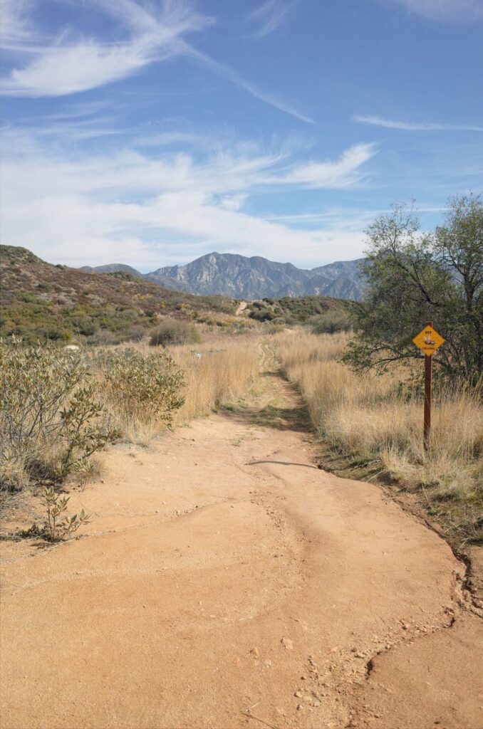
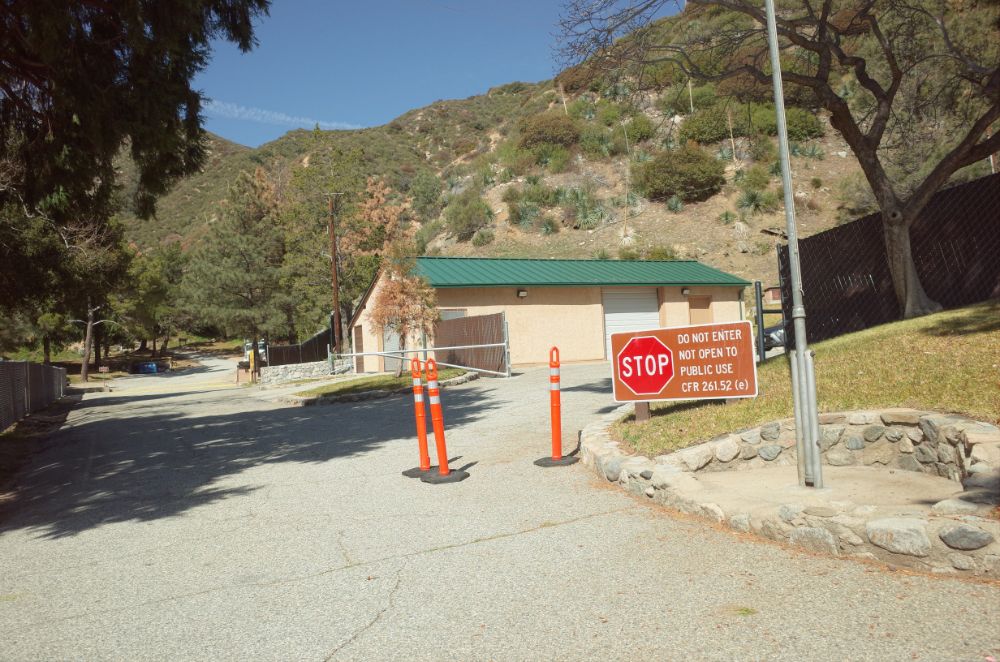
On one of the last days of winter Sally and I took our dogs to the Teepee Trail in La Canada for a hike. There are several different places to start the hike. We opted to start in the foothills of the San Gabriel Mountains. From I-210 take the Highway 2/Angeles Crest Highway exit and head North. Continue up Highway 2 for a few miles until you spot the Ranger Station. There is a small dirt parking area on the opposite side of the 2.
The Hike Details
We followed the directions from Alltrails. This hike to Teepee trail is 5.1 miles roundtrip and it is listed as easy, however, this rating is open for debate. The hike gains over 1,000 feet in elevation and it feels like a steady uphill. We hiked on a wide fire road the entire time so in that sense, it is easy, however, because of the elevation gain I rate this trail on the upper end of easy.
Starting Our Hike
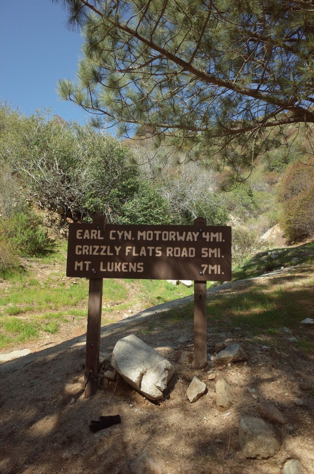
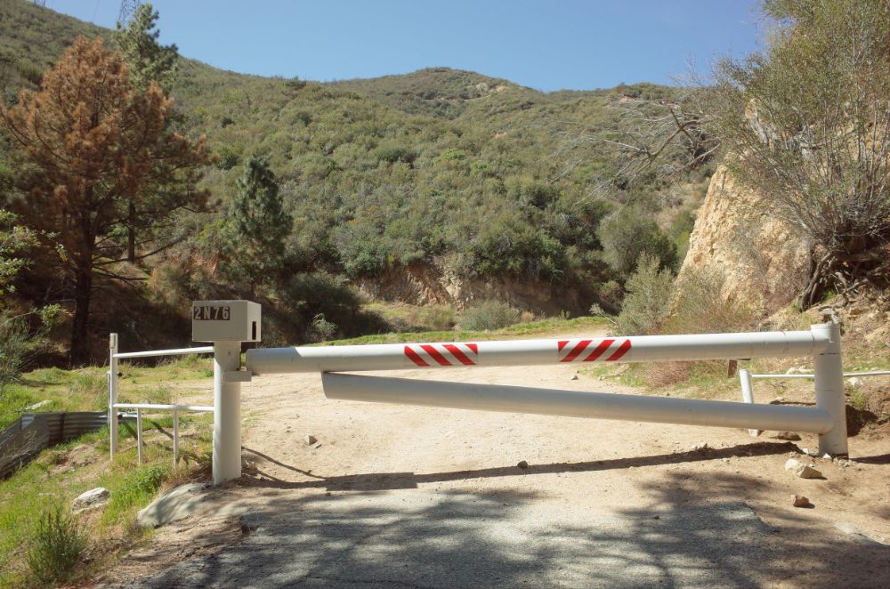
To start the hike to Teepee Trail we had to cross Highway 2 and walk past the Ranger Station. Just past their main buildings is a closed gate to keep out cars and a signpost. Following this trail, we could have continued on to Grizzly Flats and Mt. Lukens. Once you pass the gate it’s just up, up, and up on the fire road. At about the 1-mile mark there is a nice bench with a view of Glendale and Los Angeles. On a clear day you would be able to see the ocean, but the day we were there it was hazy. Be sure and wear a hat, put on sunscreen, and bring water, because there is little to no shade for the entire hike.
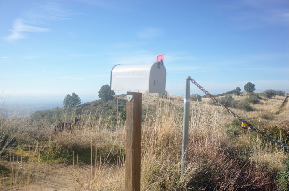
Turn Left at the Mailbox
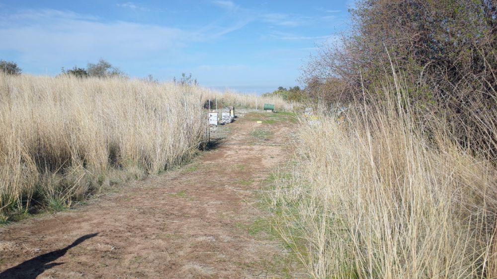
If your final destination is the teepee and not Mt. Luken then at a little over the 2-mile mark look for the mailbox on the left side of the trail. There is a chain across the trail to keep vehicles from entering, but hikers can walk past the chain and continue on the trail. This portion of the trail is private property, but the owner is allowing hikers on the trail. From the mailbox, there is a loop and we went counter-clockwise.
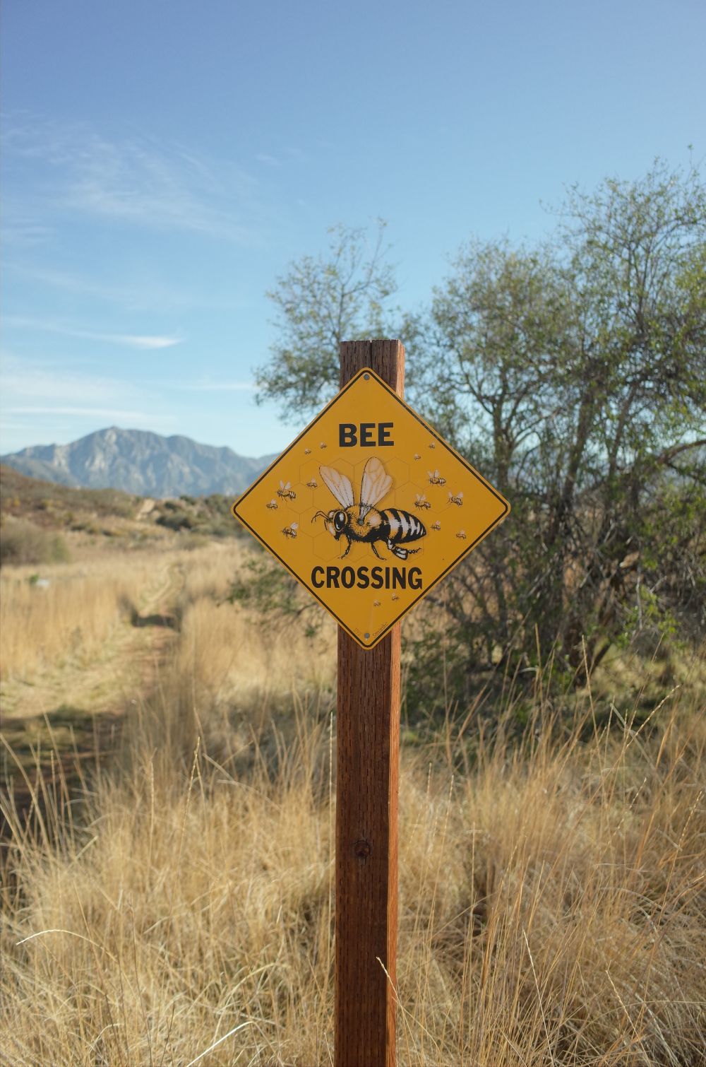
Beware of Bees
Following the trail, we saw signs warning of bee crossings. I appreciate the sign, because I’m allergic to bees, but since it was still winter I figured I would be good. We saw stacks of hives off to the side of the trail, but we didn’t get close because I didn’t want to tempt fate and the hives are behind a barbed-wire fence.
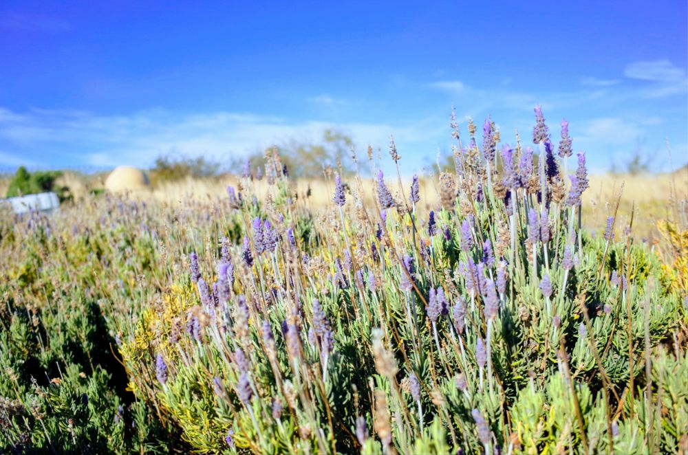
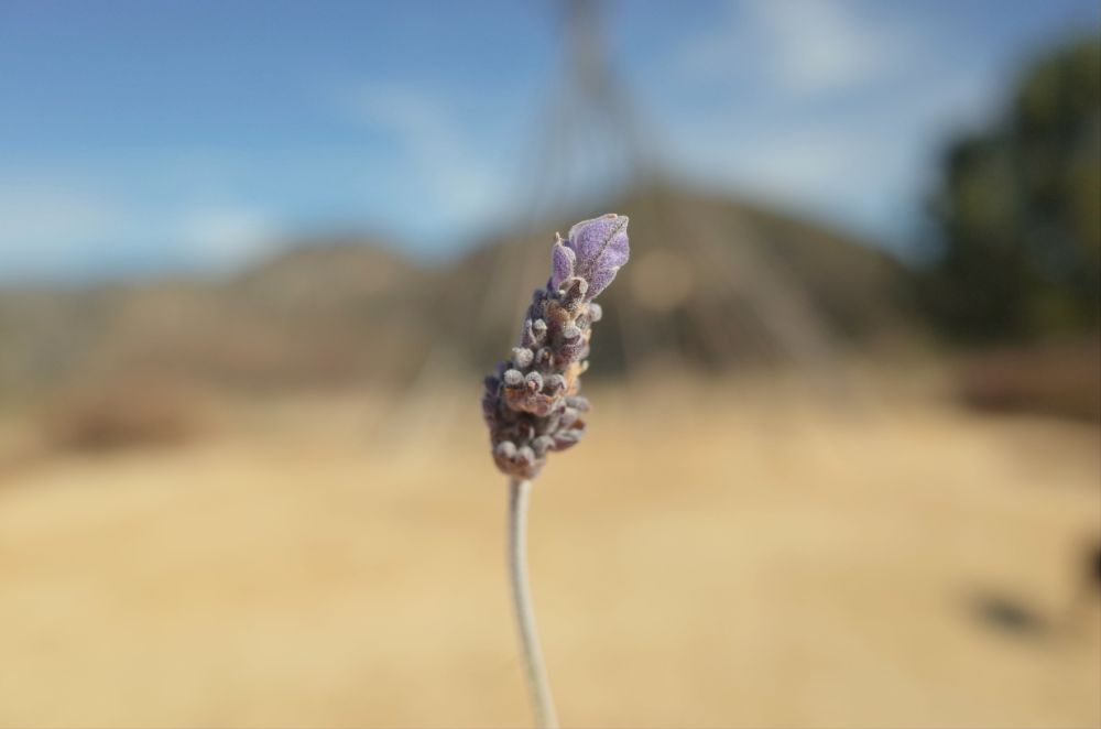
Lavender Fields
Just past the bee hives is a patch of lavender. The lavender looks beautiful, but I couldn’t really smell anything, however, I saw a few bees so maybe that’s where they were getting pollen from.
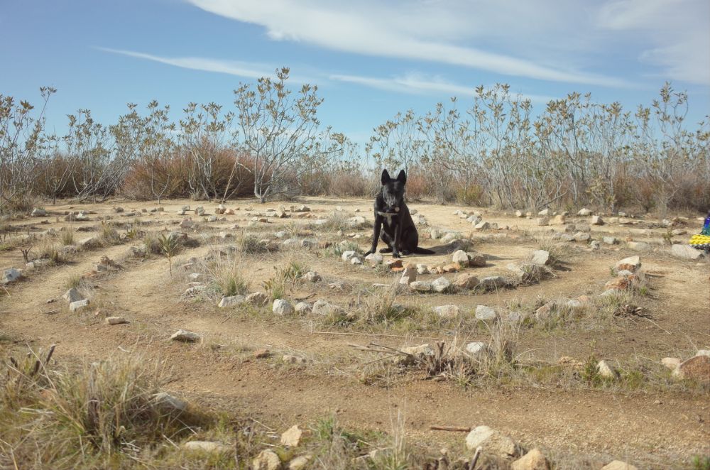
Rock Labyrinth
After passing the lavender patch there is a small opening that will take you to the rock labyrinth. We missed the opening the first time and we had to walk back around the loop a second time to look for it. It is a small labyrinth, but we followed the path and tried to concentrate on some mindfulness.
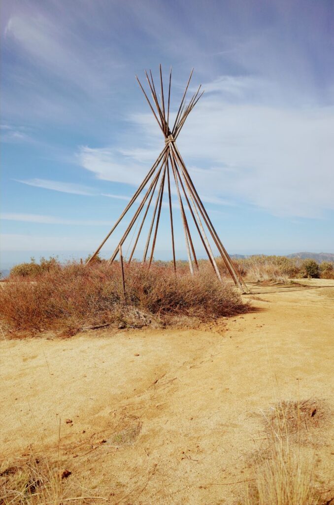
The Teepee
After the labyrinth, the teepee is up a small trail to the left. The day we were there it was just the poles in a conical shape. The teepee covering was taken down. There is a nice view of Glendale and the ocean on a clear day. I was also able to spot the top of Mt. Lukens because there are a lot of antennas on top. We sat down next to the teepee and gave the dogs some water. It was about 60 degrees and a beautiful day.
Heading Back Down
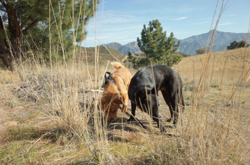
After taking a break and rehydrating it was time to head back down. Although this trail is rated as easy and it is a fire road there is some loose gravel and it is steep in parts so make sure and watch your step. We saw a few mountain bikers and only 2 other hikers the entire day. This trail was perfect for social distancing and dogs are allowed, however, there are no bathrooms or trash cans.